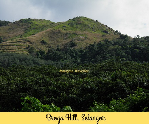
Broga Hill
Bukit Broga
The Trail
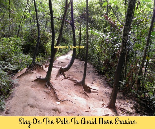
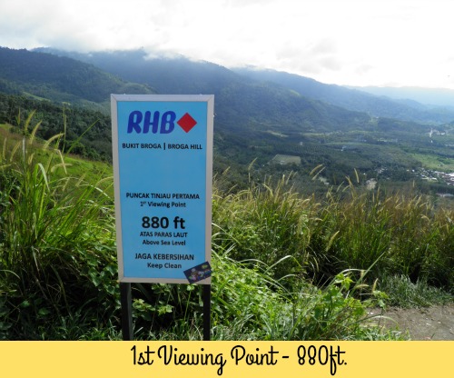
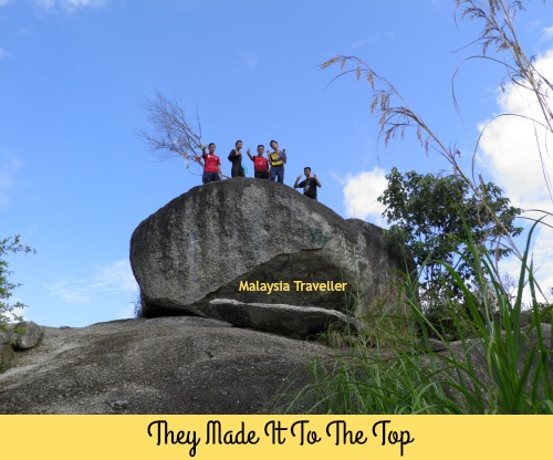
The trail climbs through a forested area for 15 minutes or so before emerging at the foot of a steep hill covered in grass. Here the tiring ascent begins but you will soon find yourself enjoying the fine views over the surrounding countryside. There are three viewing points marked by RHB signs at 880 feet, 1150 feet and finally at the top at 1312 feet.
Take care, especially when coming back down. The path can be slippery with mud, if it has been raining, or with loose sand in the dry weather.
.
What to Bring
- Plenty of water and a snack.
- Hat and or sun block.
- Trekking pole is useful.
- Phone/camera.
- Suitable footwear (not flip flops!).
Location of Broga Hill
Here is a map showing the location of Bukit Broga. Click on the box in the top right hand corner to expand the map.
Broga Hill is located at Broga, a small town on the border of Selangor and Negeri Sembilan. It is 50km from Kuala Lumpur and 33km from Seremban.
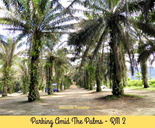
The entrance to the car park is directly opposite Rabbit Fun Land.
The car park charges RM 2 but there is not always somebody there to collect the fee.
There is no charge for climbing the hill.


Tiada ulasan:
Catat Ulasan